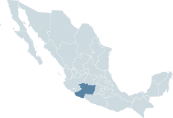
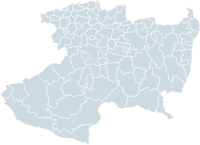
KidzSearch - Safe Search Engine     

   web | images | video | facts | wiki | news | games | kidztube | apps


   Related Content
    • michoacan mexico
    • michoacan map
    • michoacan schools
    • michoacan stores


Not Finding Your Answer?
Post It On KidzTalk Homework Help


   Report a search problem


COMPANY RESOURCES LINKS SOCIAL
contact us education daily journal home facebook
about us make us your default search kidztalk twitter  
terms/privacy blocking websites kidznet pinterest  
advertise teacher zone wiki    
media link to us learning sites    
business / api solutions add a site image search    
affiliate program kidzsearch apps kidztube    
play youtube on kidzsearch games    
  voice search music    
  report a problem cool facts    
  settings news    
    search help    


 mobile version

      Copyright 2005-2024 KidzSearch.com 
Flag of State of Michoacán
Coat of arms of State of Michoacán
Location within Mexico
Municipalities of Michoacán
Coordinates: 19°10′N 101°54′W / 19.17°N 101.90°W / 19.17; -101.90Coordinates: 19°10′N 101°54′W / 19.17°N 101.90°W / 19.17; -101.90
CountryMexico
CapitalMorelia
Municipalities113
Government
 • GovernorLeonel Godoy (PRD)
 • Federal DeputiesPRD: 9
PAN: 4
 • Federal SenatorsPRD: 2
PAN: 1
Area
 • Total59,928 km2 (23,138 sq mi)
Population
 (2005)
 • Total3,966,073 (Ranked 7th)
Time zoneUTC-6 (CST)
 • Summer (DST)UTC-5 (CDT)
HDI (2004)0.7422 - medium
Ranked 29th
ISO 3166-2MX-MIC
Postal abbr.Mich.
WebsiteMichoacán state government

Michoacán is a state in south-west Mexico. About 4,000,000 people live there. Its capital is Morelia.

  view more...