

Not Finding Your Answer?
Post It On KidzTalk Homework Help
Post It On KidzTalk Homework Help
Report a search problem

|
mobile version
Copyright 2005-2024 KidzSearch.com
|
|
 | |
 Flag  Coat of arms | |
 Location in Gelderland | |
| Coordinates: 52°8′N 5°35′E / 52.133°N 5.583°ECoordinates: 52°8′N 5°35′E / 52.133°N 5.583°E | |
| Country | Netherlands |
| Province | Gelderland |
| Government | |
| • Body | Municipal council |
| • Mayor | Asje van Dijk (CDA) |
| Elevation | 10 m (30 ft) |
| Population | |
| • Total | data missing |
| Time zone | UTC+1 (CET) |
| • Summer (DST) | UTC+2 (CEST) |
| Postcode | 3770–3785, 3794, 3886 |
| Website | www |
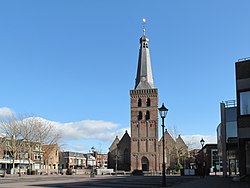
Barneveld (![]() pronunciation (info • help)) is a municipality in the middle of the Netherlands, in the province Gelderland. The main centre is the village of Barneveld.
pronunciation (info • help)) is a municipality in the middle of the Netherlands, in the province Gelderland. The main centre is the village of Barneveld.
The municipality has an area of 176.74 km².
view more...