
|
 | |
 Coat of arms | |
Location of Magadino Lua error in Module:Infobox_mapframe at line 118: attempt to index field 'wikibase' (a nil value). | |
| Coordinates: 46°09′N 8°51′E / 46.150°N 8.850°ECoordinates: 46°09′N 8°51′E / 46.150°N 8.850°E | |
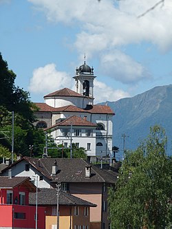
| Country | Switzerland |
| Canton | Ticino |
| District | Locarno |
| Area | |
| • Total | 7.23 km2 (2.79 sq mi) |
| Elevation | 196 m (643 ft) |
| Population (December 2007) | |
| • Total | 1,604 |
| • Density | 221.85/km2 (574.6/sq mi) |
| Time zone | UTC+01:00 (Central European Time) |
| • Summer (DST) | UTC+02:00 (Central European Summer Time) |
| Postal code(s) | 6573 |
| Surrounded by | Contone, Locarno, Minusio, Rivera, Tenero-Contra, Vira (Gambarogno) |
| Website | SFSO statistics |
Magadino was a municipality of the district Locarno in the canton of Ticino in Switzerland. On 25 April 2010, the former municipalities of Caviano, Contone, Gerra Gambarogno, Indemini, Magadino, Piazzogna, San Nazzaro, Sant'Abbondio and Vira Gambarogno merged to form the new municipality of Gambarogno. view more...


|