KidzSearch Image Safe Search   


State of India
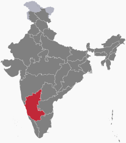
Location of Karnataka in India
Map of Karnataka
Map of Karnataka
Country India
RegionSouth India
Area
 • Total191,980 km2 (74,120 sq mi)
Population
 (2011)
 • Total61,095,297
Time zoneUTC+05:30 (IST)
Official languagesKannada

Karnataka is a state in the Republic of India. It has an area of 74,122 square miles (191,980 km2). It is bigger than Syria but smaller than Senegal. In traditional Indian geography, it is part of the Southern zone. It has 31 districts. As of the 2011 census, it has a population of approximately 61.1 million. The present Chief Minister of the state is Siddaramaiah of the Indian National Congress.

 view more...


   Related Content
    • karnataka election results
    • karnataka mask
    • karnataka national song
    • karnataka temples
    • karnataka staple food
    • karnataka power corporation
    • karnataka traditional clothing
    • karnataka elections


Not Finding Your Answer?
Post It On KidzTalk Homework Help


   Report a search problem


COMPANY RESOURCES LINKS SOCIAL
contact us education daily journal home facebook
about us make us your default search kidztalk twitter  
terms/privacy blocking websites kidznet pinterest  
advertise teacher zone wiki    
media link to us learning sites    
business / api solutions add a site image search    
affiliate program kidzsearch apps kidztube    
play youtube on kidzsearch games    
  voice search music    
  report a problem cool facts    
  settings news    
    search help    


 mobile version

      Copyright 2005-2024 KidzSearch.com