
|
| Fryslân / Friesland | |
|---|---|
Province | |
 | |
 Flag  Coat of arms | |
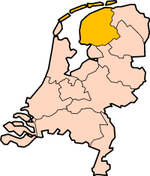  Location | |
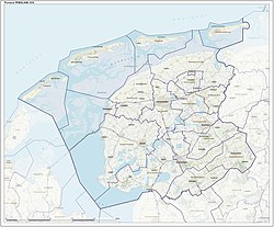 Map | |
| Coordinates: 53°8′N 5°49′E / 53.133°N 5.817°E | |
| Country | Netherlands |
| Established | 1815 |
| Seat | Leeuwarden |
| Area | |
| • Total | 5,749 km2 (2,220 sq mi) |
| • Land | 3,336 km2 (1,288 sq mi) |
| • Water | 2,413 km2 (932 sq mi) |
| Highest elevation | 45 m (148 ft) |
| Lowest elevation | -2 m (−6.6 ft) |
| Population (2021) | |
| • Total | 651,000 |
| • Density | 195/km2 (510/sq mi) |
| Website | www |
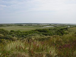
Friesland (Fryslân in West Frisian, Friesland in Dutch) is a province in the north of the Netherlands. The capital (city) of Friesland is Leeuwarden (Ljouwert in Frisian). People in Friesland speak West Frisian and Dutch. People also speak Frisian in a small part of Groningen (province), and in East Friesland and North Friesland in Germany. In North Holland there is a region called West Friesland, but people who live there are not called Frisians. About 651,000 people are living in Friesland (2021).


|