
|
 | |
 Flag  Coat of arms | |
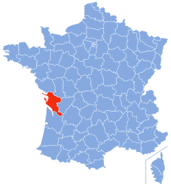 Location of Charente-Maritime in France | |
| Coordinates: 45°57′N 0°58′W / 45.950°N 0.967°WCoordinates: 45°57′N 0°58′W / 45.950°N 0.967°W | |
| Country | France |
| Region | Nouvelle-Aquitaine |
| Département | 4 March 1790 |
| Prefecture | La Rochelle |
| Subprefectures | Jonzac, Rochefort, Saintes, Saint-Jean-d'Angély |
| Government | |
| • President | Dominique Bussereau |
| Area | |
| • Total | 6,863.8 km2 (2,650.1 sq mi) |
| Population | |
| • Total | 637,089 |
| • Density | 92.8187/km2 (240.3993/sq mi) |
| Time zone | UTC+1 (CET) |
| • Summer (DST) | UTC+2 (CEST) |
| ISO 3166 code | FR-17 |
| Arrondissements | 5 |
| Cantons | 27 |
| Communes | 469 |
| Website | Official website |
Charente-Maritime (Saintongeais: Chérente-Marine) is a department on the west coast of France in the Nouvelle-Aquitaine region. It is named after the Charente river, the most important river in the department, and its position along the coast.
Its prefecture is the city of La Rochelle.
view more...

|