
|
 | |
 Flag  Coat of arms | |
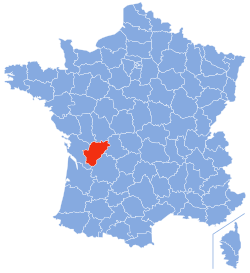 Location of Charente in France | |
| Coordinates: 45°50′N 0°20′E / 45.833°N 0.333°ECoordinates: 45°50′N 0°20′E / 45.833°N 0.333°E | |
| Country | France |
| Region | Nouvelle-Aquitaine |
| Département | 4 March 1790 |
| Prefecture | Angoulême |
| Subprefectures | Cognac, Confolens |
| Government | |
| • President | François Bonneau |
| Area | |
| • Total | 5,956 km2 (2,300 sq mi) |
| Population | |
| • Total | 353,853 |
| • Density | 59.411/km2 (153.874/sq mi) |
| Time zone | UTC+1 (CET) |
| • Summer (DST) | UTC+2 (CEST) |
| ISO 3166 code | FR-16 |
| Arrondissements | 3 |
| Cantons | 19 |
| Communes | 383 |
| Website | http://www.lacharente.fr |
Charente (Saintongeais: Chérente, Occitan: Charanta) is a department in southwestern France, in the Nouvelle-Aquitaine region.
It is named after the Charente river, the most important river in the department. The two largest towns of the department, Angoulême and Cognac, are along this river.
view more...

|