KidzSearch Image Safe Search   


Satellite image of Senegal River
Fishermen on the bank of the Senegal River estuary at the outskirts of Saint-Louis

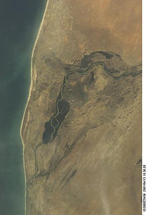
The Senegal River is a river in West Africa. It is 1,800 km long and is the border between Senegal and Mauritania.Pliny the Elder called it Bambotus (from a word meaning "hippopotamus") and Claudius Ptolemy called it Nias. Hanno the Carthaginian went to the river in about 450 BC when he was going from Carthage to Mount Cameroon in the Gulf of Guinea. Carthage was destroyed in 146 BC, but before that time there was probably trade from here to the Mediterranean Sea.

 view more...


   Related Content
    • senegal river map


Not Finding Your Answer?
Post It On KidzTalk Homework Help


   Report a search problem


COMPANY RESOURCES LINKS SOCIAL
contact us education daily journal home facebook
about us make us your default search kidztalk twitter  
terms/privacy blocking websites kidznet pinterest  
advertise teacher zone wiki    
media link to us learning sites    
business / api solutions add a site image search    
affiliate program kidzsearch apps kidztube    
play youtube on kidzsearch games    
  voice search music    
  report a problem cool facts    
  settings news    
    search help    


 mobile version

      Copyright 2005-2024 KidzSearch.com